
Tue Oct 10, 2017 All Images Replaced!
I’ll keep this short:
As I’ve reported in a blog post a few weeks ago,
all physical map projection images should be replaced with new versions.
At that time; I already had exchanged the images with relief ocean floor, and now
the images with flat ocean have been renewed as well.
Thus, the update is complete.
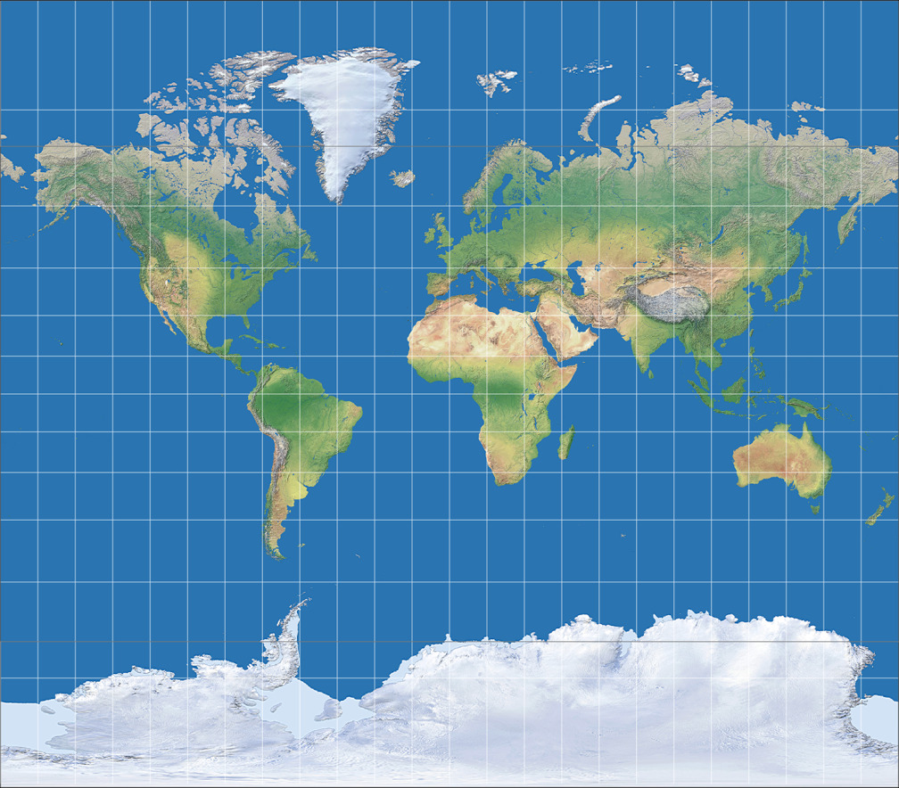
Moreover, last time I said I couldn’t generate of new version of the Kavraisky I image because of software problems. That hasn’t changed, but I’ve found a workaround: Kavraisky I is a fusion of Mercator and equirectangular projection. So all I had to do was to scale these two projections accordingly, cut them at 70° north/south and put them together correctly.
As usual, I’m using a 15 degree graticule, but this time, I’ve added the parallel at 70° N/S so you can see where the two projections are fused.
That’s all for today.
 Except where otherwise noted, images on this site are licensed under
Comments
Due to spam posts, comments are now subject to moderation, which means they remain hidden until they are approved by a moderator.
More info
Be the first one to write a comment!